Aquatic vegetation and water quality with satellite data

Aquatische vegetatie en waterkwaliteit monitoring met satellietdata

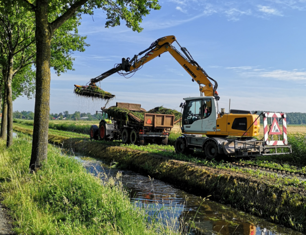
RoyalHaskoningDHV and Water Insight team up to improve the methods for monitoring aquatic vegetation and water quality with satellite data in the area of water authority Hoogheemraadschap van Delfland.

The monitoring will serve various purposes:

  1. Digital monitoring ‘shouw’ (instead of driving around and manually view all the water areas)
  2. Operational management (‘early warning’ for obstructions in the water ways)
  3. Water system analysis (to understand the water quality and quantity and the bottlenecks in these)
  4. Optimisation of monitoring network (efficiency, representativeness etc)

A long list of parameters to be monitored is set up, and development of algorithms to retrieve these for a very high resolution satellite imagery is on full speed.