TRACTIONS addresses the need for water transparency information by the dredging market and primary production information by the aquaculture sector. TRACTIONS services include continuous local calibration and validation with proprietary optical sensors from the WISPstation network, and very high resolution imagery that is available multiple times and day. This project will study the feasibility of the TRACTIONS service.
TRACTIONS will provide a near-real time, highly accurate mapping service of surface water transparency and primary production, for the dredging respectively the aquaculture markets on a subscription base.
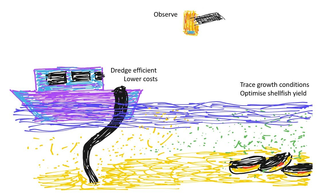
TRACTIONS will help users to monitor dredging plumes up to multiple times a day, allowing port authorities and dredging companies to carry out their work without having to transport sediments over long distances and while respecting the requirements with regard to environmental thresholds. TRACTIONS will provide the primary production information that is longed for in existing aquacultural growth models. This will allow aquaculture farmers to better plan the seeding, re-locating and harvesting their stock, especially in the more remote locations for which there is now barely any information available.
For both user markets TRACTIONS will therefore greatly increase the users efficiency with regard to shipping time, and therefore for man power, gasoline use and CO2 production.
TRACTIONS is partly funded by ESA