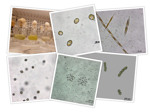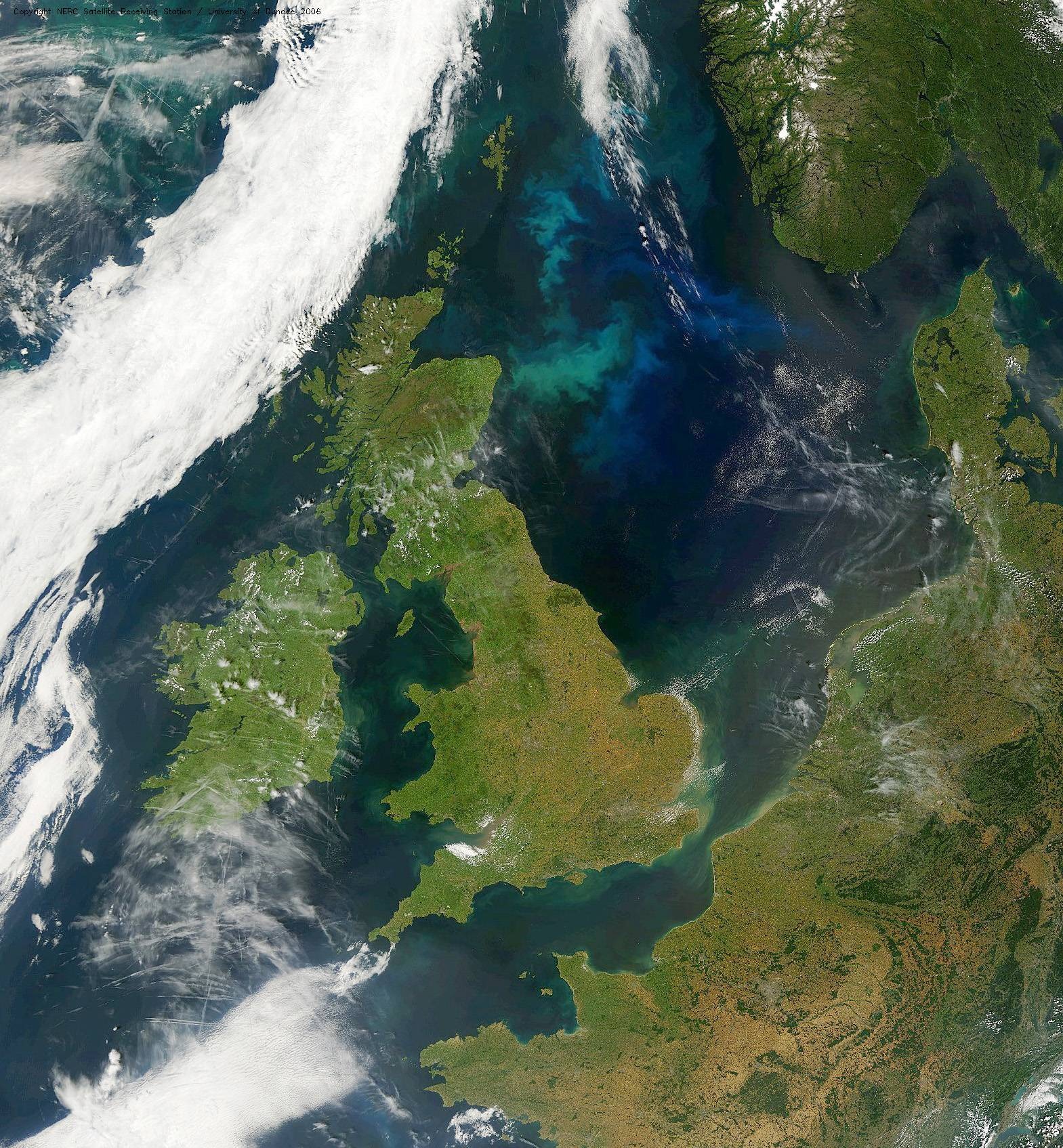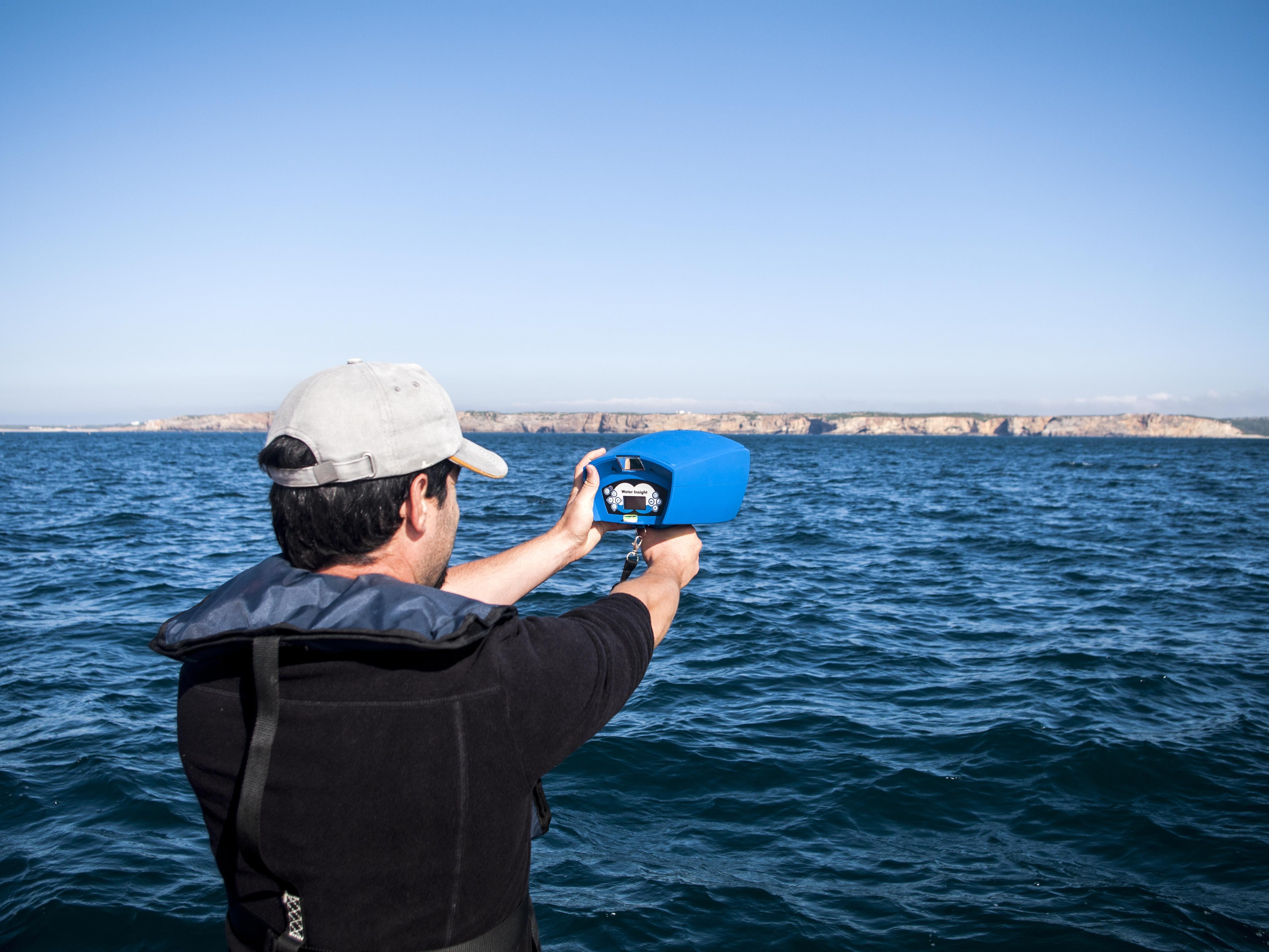
To support the growth of efficient and sustainable aquaculture production, the AQUA-USERS project worked on providing the aquaculture industry with user-relevant and timely information based on the most up-to-date satellite data and innovative optical in-situ measurements. Based on these data, a method was established to derive indicators for potential benefits and risks for aquaculture production. When available, also biogeochemical parameters were included in the analysis. Another focus of the project was improving the methods for detecting harmful algal blooms (HABs) with optical methods. Two approaches have been pursued: training a detection algorithm with spectra of known blooms of certain species on multi-spectral satellite images, and modelling of hyperspectral HAB data based on laboratory experiments on cultures of these species.
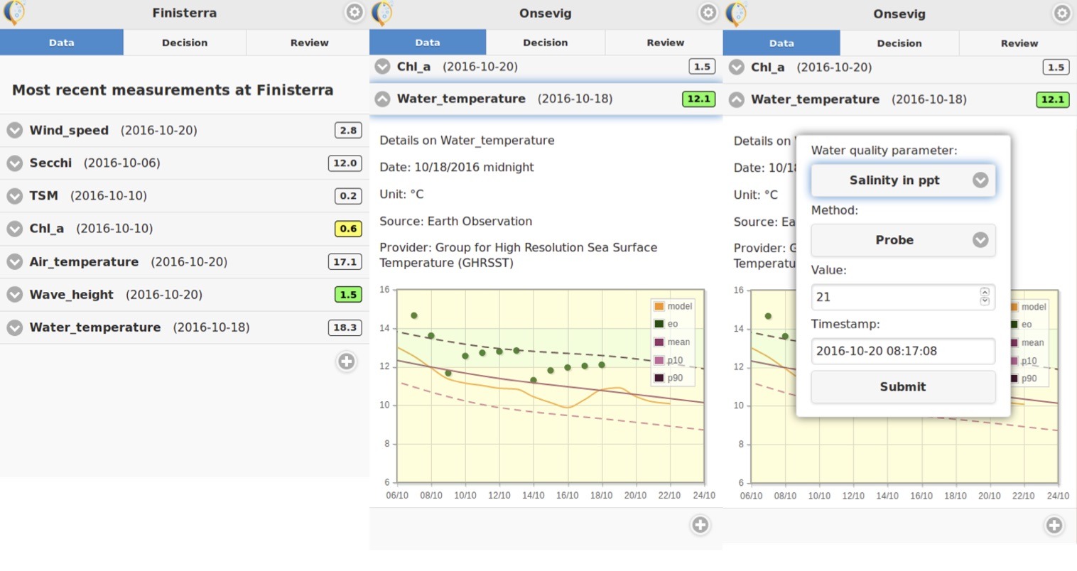
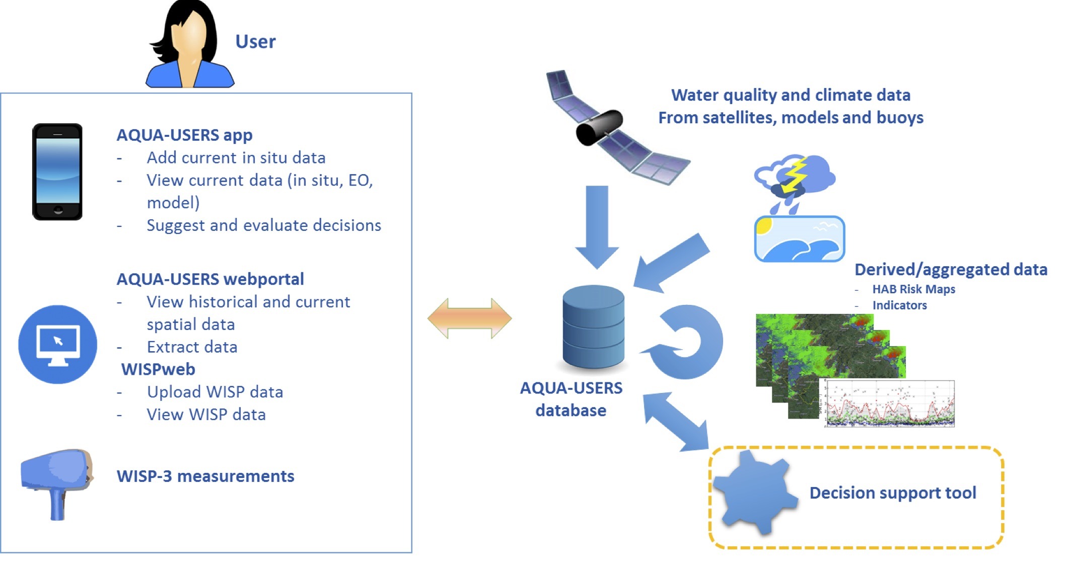
To make the project results accessible to our users, we developed two tools; a web portal and mobile application were developed that bring together satellite information on water quality and temperature with in-situ observations as well as relevant weather prediction and met-ocean data.
Two services have been developed in the project and are ready to be deployed: A site selection service and a daily management service.
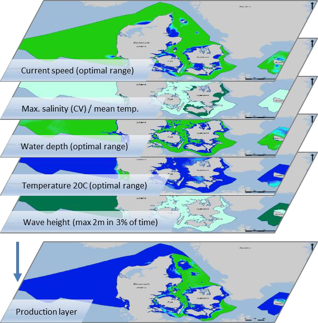
The first service is the site characterization/site selection. Site characterisation supports the operation of the aquaculture production by increasing the knowledge of the production site. Site selection on the other hand does have a longer perspective by supporting the identification of the optimal production sites. This service can support aquaculture operators in selecting the best locations to establish new production sites or regulators in issuing licences or establishing zones for aquaculture production. In the user survey, 94% of respondents found this service useful or very useful.
The second service is the daily management service that is intended to supply the site manager with relevant and timely information, empowering him or her to make informed management decisions. A large number of data products have been identified together with the users that are available in the AQUA-USERS system for operational management. The data include NRT satellite data, including HAB risk, environmental information from models, buoys and in-situ measurements as well as long-term statistics and production limits. In the final user survey, 94% of respondents found the app very useful or useful to some extent. 92% evaluated the HAB risk maps as useful. The value adding capability also has been demonstrated in the socio-economic impact analysis. This is the case in particular for the NRT HAB service.
AQUA-USERS ran from 2013 to 2016 and was funded under the European Community’s 7th Framework Program (Theme SPA.2013.1.1-06: Stimulating development of downstream services and service evolution, Grant Agreement No 607325).