Posted: December 13, 2022
Water Insight successfully finished its second project for Boskalis to study the possibilities for monitoring dredging plumes with satellite imagery. During an initial project at one of Boskalis dredging sites in a lake, the satellite instrument was selected and algorithms were tested. The second project focussed on accuracy, and took place at a coastal site where a dredging project of Boskalis was ongoing. Boskalis provided one year of turbidity data from the monitoring buoys for validation. Good agreement was found between the data from the buoys and the data derived from the satellite. The satellite-based maps provide a good spatial insight of concentrations over the whole area, also showing variation in the plumes and in the background values. Boskalis is considering to use the satellite service in a future dredging project for threshold exceedance monitoring.
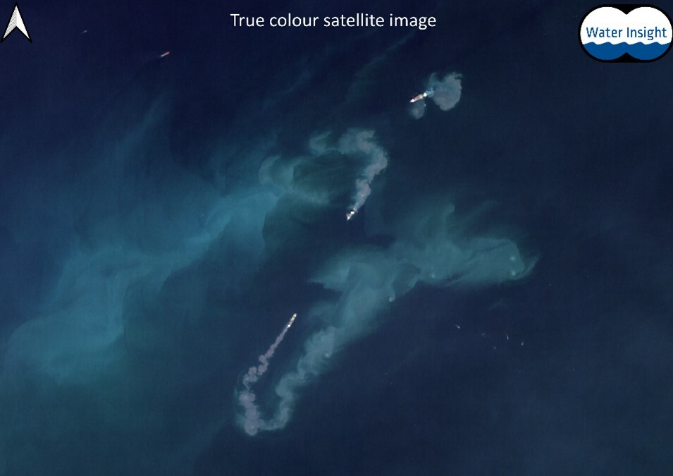
In this true colour image three dredging ships can be seen during their activities. Dredging plumes are visible by eye.
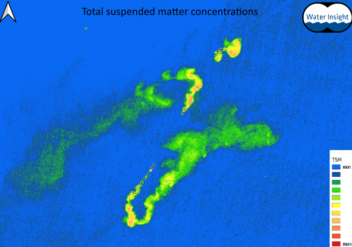
Map of total suspended matter concentrations derived from the first image
Contact info@waterinsight.nl for more information