Posted: June 09, 2020
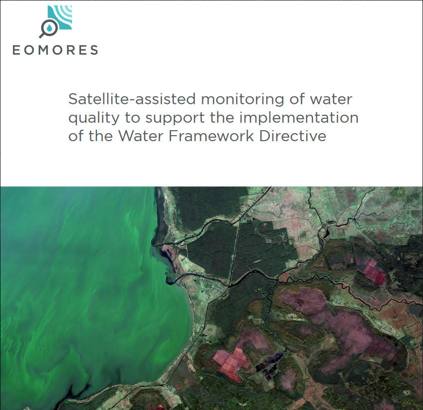
European consortium EOMORES presents a White Paper about the application of satellite imagery to support Water Framework Directive. The paper is supported by a large number of international experts.
The White Paper “Satellite-assisted monitoring of water quality to support the implementation of the Water Framework Directive” can be downloaded here: https://doi.org/10.5281/zenodo.3463050
Water quality metrics derived from satellite observation can complement conventional water sampling, particularly to achieve much improved spatial and temporal coverage of medium (several square kilometres) and larger waterbodies. Thus, it has the potential to enhance confidence in WFD ecological status classification, firstly by quantifying elements of environmental status that are currently not or under-reported by Member States, such as the frequency, onset, duration and extent of phytoplankton blooms. Second, confidence in ecological status assessment would improve with increased representativeness of the natural diversity of waterbodies that are monitored, their inter-annual variability and water quality trends within larger waterbodies. Moreover, using standardised approaches, it would allow better comparison and standardization of water quality assessment across Member States, facilitating the management of transboundary waters in particular. Finally, by increasing spatial and temporal coverage, satellite observation is expected to enhance the effectiveness of the Programme of Measures (PoM) through early detection of deterioration, improving knowledge of the potential extent of an impact, improving monitoring of the effectiveness of PoMs and providing information to support more strategic in situ sampling.
More information about the project EOMORES here: http://eomores-h2020.eu and the services of EOMORES here: https://eomores.eu